On November 13, 2010, Daniel and I went on a geocaching trip northeast of Charlottesville, in the “Northern Neck” area between the Potomac and Rappahannock Rivers.
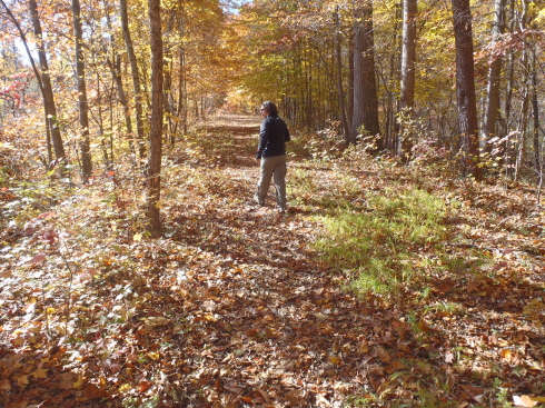
We started our day with a “puzzle cache,” one where the coordinates are not given explicitly but must be derived by solving a puzzle or mystery of some sort. Over breakfast we started solving a logic puzzle for a cache in the Fredericksburg area. Just as we seemed to be getting close to a solution, we realized there was a logical conflict in our answers, so we scrapped the first attempt and started over. I completed the puzzle in the passenger seat of Dan’s car while he drove us to Fredericksburg. The solution took us on a short hike down this old rail bed. It does not appear to have been made into a formal rail trail, but is clearly used as a trail on an informal basis.
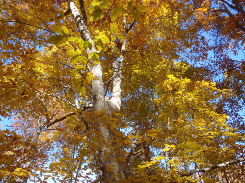
It was a good patch of woods for colorful foliage.
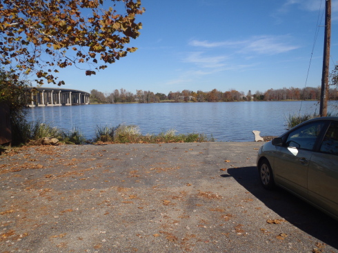
Another cache took us to the tiny town of Port Royal, where there used to be an important tobacco port. Now there’s nothing left of the port but the dead end of a road right next to the Rappahannock River.
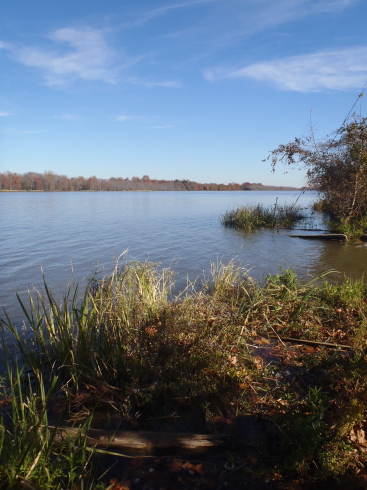
I enjoyed the river scenery. Being near a body of water usually makes me happy.
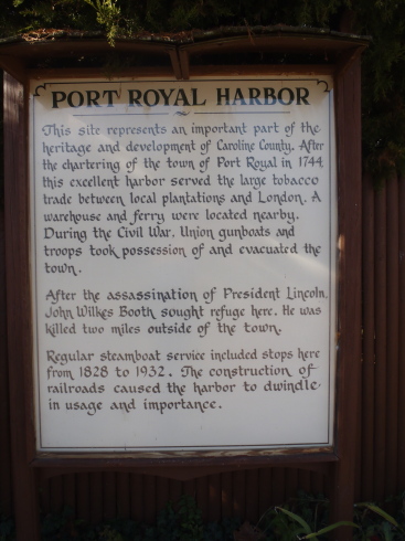
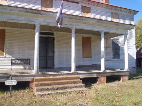
In the town of Port Royal, another geocache drew our attention to this stately but decrepit old house. According to a historical marker, John Wilkes Booth sought refuge here after shooting President Lincoln, but was turned away.
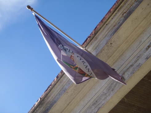
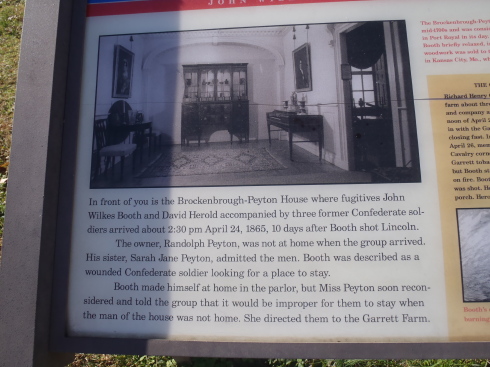
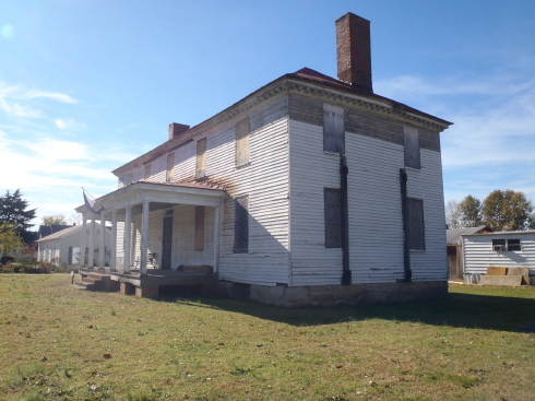
Seeing a gorgeous old house in such a state of disrepair always dismays me. I do not know who owns the house.
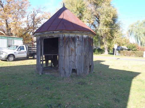
We observed this structure in the side yard. I don’t know what function it originally served, but it is in even worse shape than the main house.
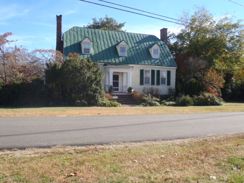
Other historic homes in Port Royal had been restored and maintained with evident care, and were being occupied. The community was a real mix of neatly kept, even prim, dwellings and derelict ones. There wasn’t a good side of town and a bad side–the state of the buildings could vary dramatically from one lot to the next.
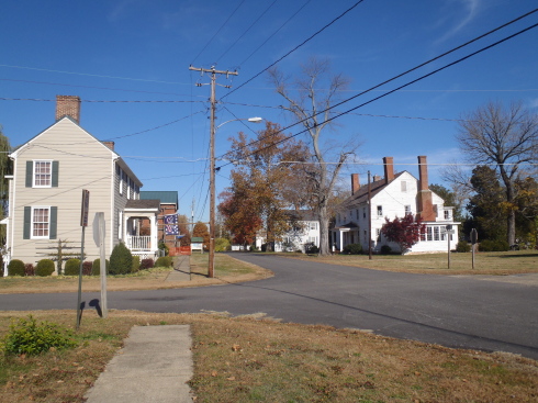
Another street corner in Port Royal.
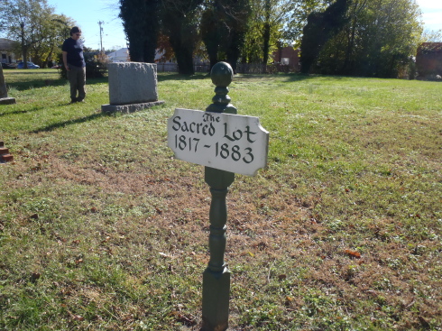
The explanatory text for a geocache informed us that the “Sacred Lot” had been the site of a succession of old churches. It is now mostly vacant. I like learning bits of local history from geocaches.
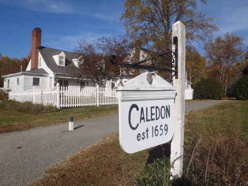
After exploring Port Royal, we went up to the Caledon Natural Area State Park on the Potomac. The park is the site of a bald eagle reserve, although we did not get into the nesting area nor see any eagles.
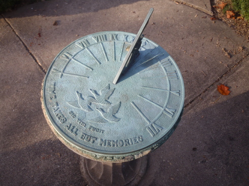
I noticed this sundial outside the old house that serves as park headquarters.
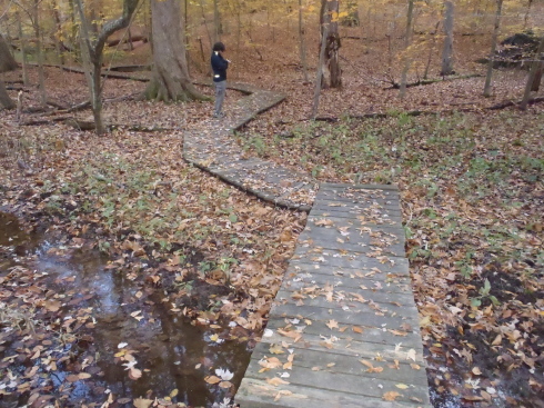
We hunted for several geocaches within the park, rambling over a few miles of trail. I admired this bog walk.
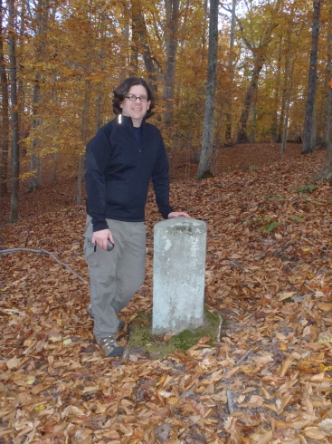
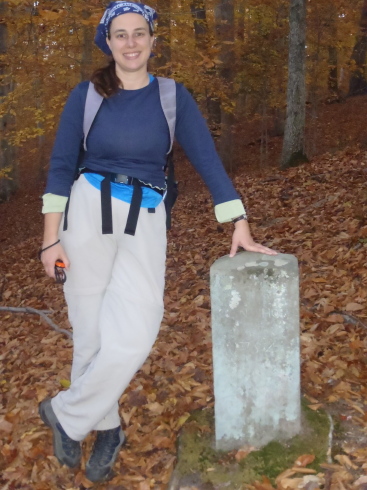
One of the caches led us to this 1754 benchmark.
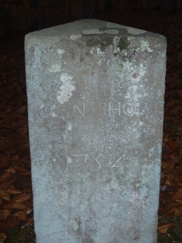
“JOHN SHORT 1754”