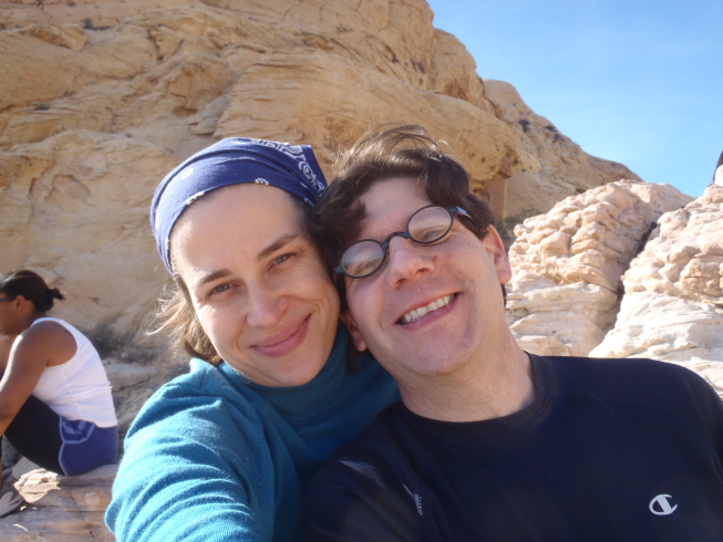
In January of 2012, Daniel and I traveled to Las Vegas for a weekend to attend the 100th birthday party of one of his aunts, who lives in the city. During the daytime on Saturday the 14th, before getting ready for the party in the evening, we went for a hike together in Red Rock Canyon. (I had been wanting to visit Red Rock Canyon since I read about it while on my first trip to Las Vegas, for an academic conference in 2005; at the time, I didn’t have a rental car nor much free time from the conference.) We set out with day packs and little knowledge of the area, and picked a short, moderate-difficulty trail from a brochure.
Most of these photos are from my camera. The ones marked “(Photo by Dan.)” are from his cell phone.
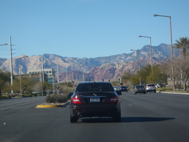
I found it striking how the mountains rose so abruptly from the horizon as we drove out of the city, which was FLAT.
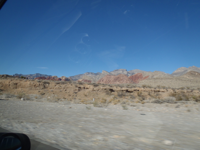
Las Vegas is full of gardens and golf courses kept green through irrigation. You leave the city and suddenly you are in the desert.
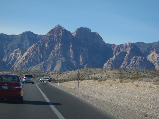
Very different topography from the Blue Ridge.

Red Rock Canyon has a 13 mile scenic loop road, off of which there are several small parking areas at trailheads. The loop road was heavily traveled when we were there. The eponymous red stripe in the sandstone was visible from most parts of the loop, as I recall.
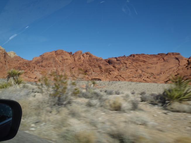
I took lots of out-the-window pictures from our rental car. The landscape was so striking and strange to me.
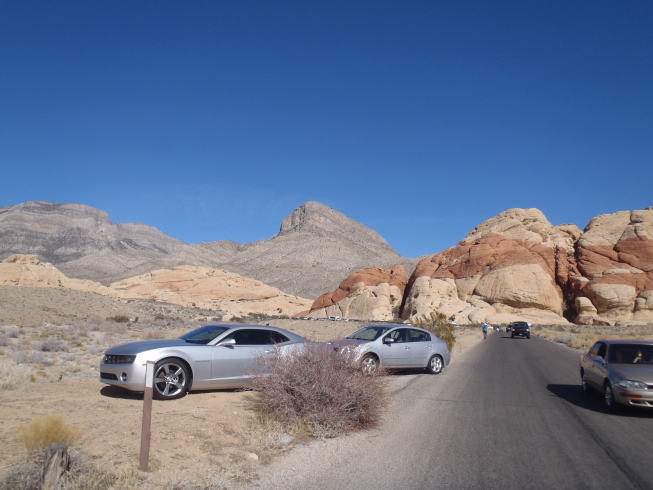
We were not able to find a spot in the trailhead parking area for the trail we wanted, Calico Tanks, so we followed the example of several other people and found a place where we could pull off the side of the road without disturbing much vegetation.
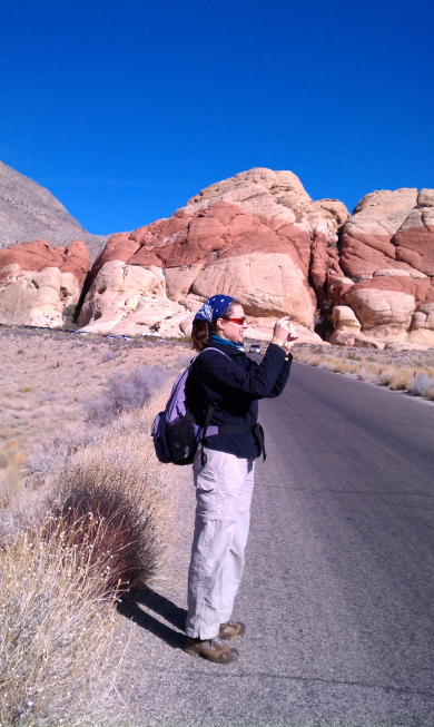
Just parked; taking panoramic video and getting ready for our hike. (Photo by Dan.)
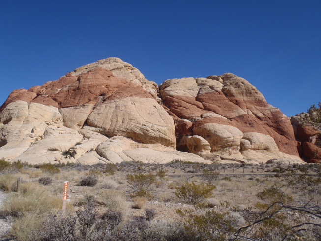
I took lots more pictures as we started our hike.
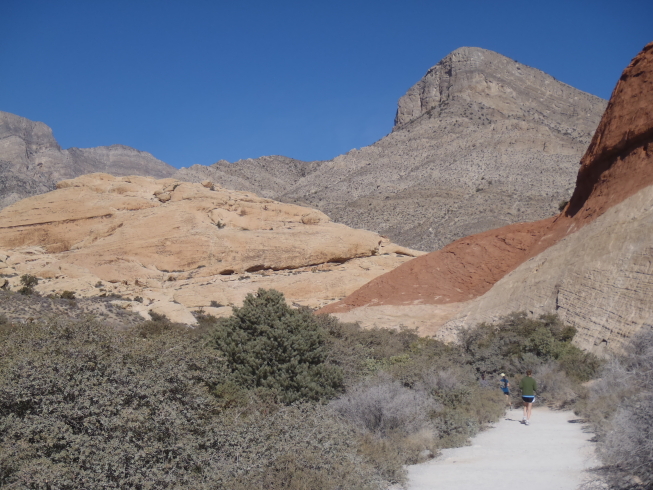
Calico Tanks trail.
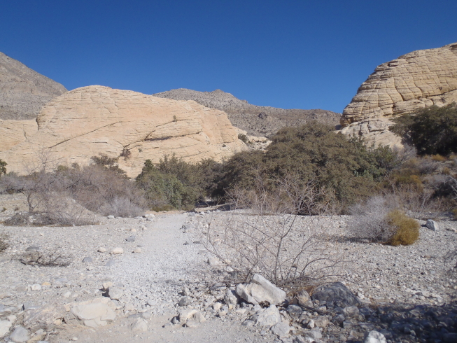
The trail crossed a flat area covered with gravel, small rocks, and only sparse vegetation. It reminded me of a beach.

Me on the trail.
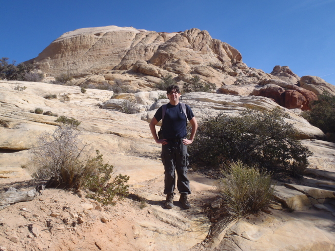
Dan on the trail.

Rock formations along the way. The brochures we picked up at the visitors center at the start of the loop warned hikers not to stick their hands into crevices without checking for snakes and scorpions!
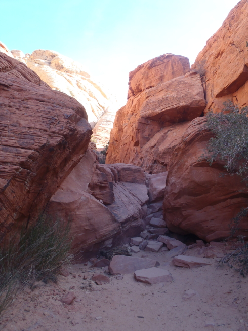
The trail was not marked with blazes or signs. Mostly, we had to follow other hikers’ tracks in the dirt (or follow other hikers directly–it was a popular trail). Sometimes we’d find ourselves standing in a small canyon between rock bluffs and we’d figure the notch at the other end of the canyon had to be the trail. In at least one place, there was a scramble over a broad, gently sloped expanse of rock where the “trail” was not obvious at all; we just had to keep going in the same general direction we had been going and hope to pick up signs of the trail on the other side.
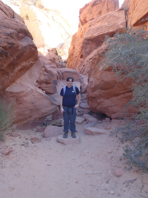

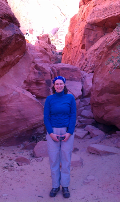
(Photo by Dan.)
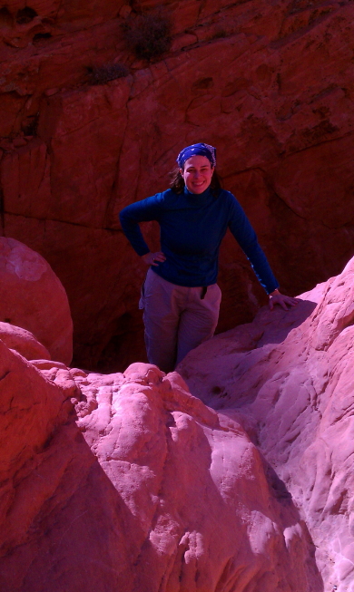
(Photo by Dan.)
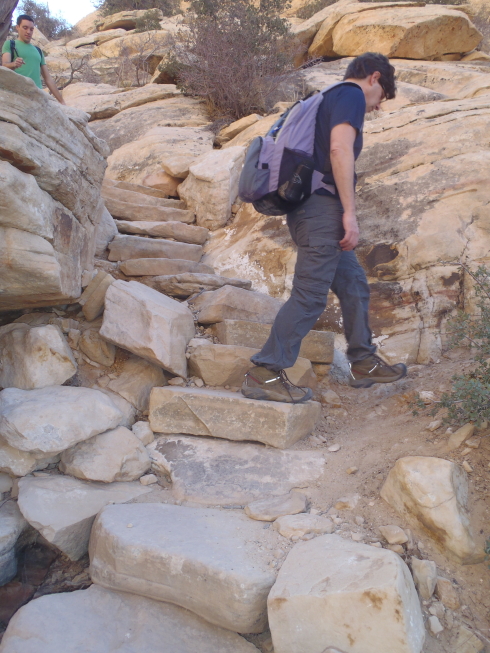
Here we had some nicely-laid stone steps. (Thanks, Dan, for carrying my backpack part of the time!)
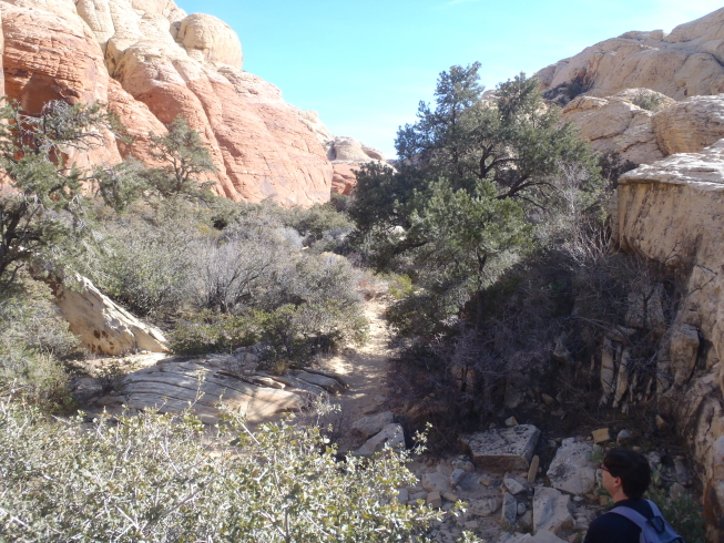
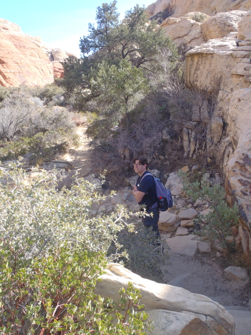
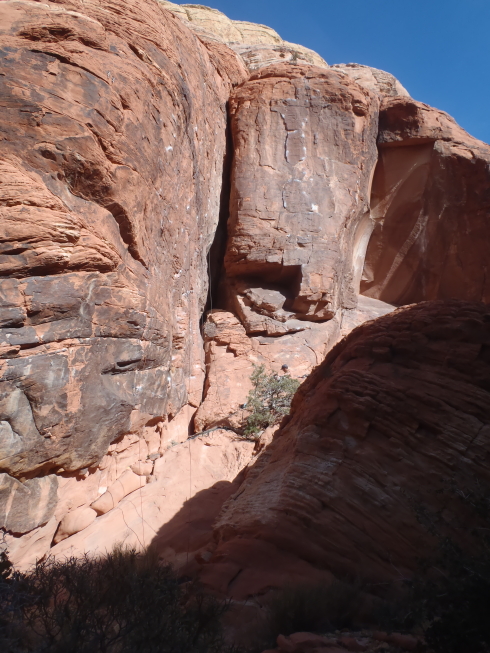
Red sandstone.
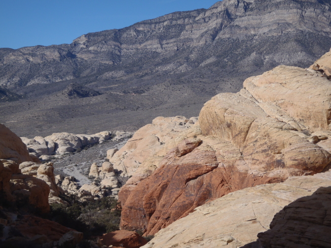
Gaining elevation! But we never went as high as those mountains in the background.
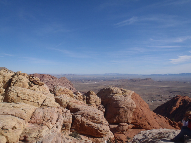
The Calico Tanks trail climbs a hill overlooking Las Vegas, starting from the back side of the hill relative to the city. I think this was one of our first views from the crest of the hill, looking across the Las Vegas basin (although I don’t think you see the city in this shot).
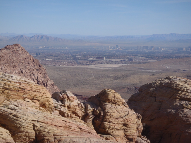
Aha—there’s the city. That row of tall buildings stretching from the upper middle of the picture to the right edge would be the Strip.
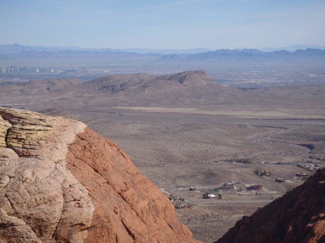
We also got a good look at other landforms in the area.
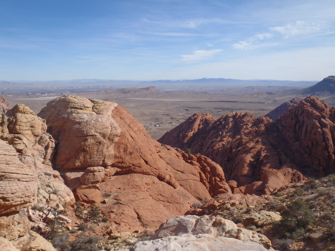
I think this was taken from our lunch spot. Nice view for lunch!

At our lunch spot. (Photo by Dan.)

Also at our lunch spot. (Photo by Dan.)
